Paklenica National Park: 3-Day Velebit Trek – Map, Huts, Water & Transport
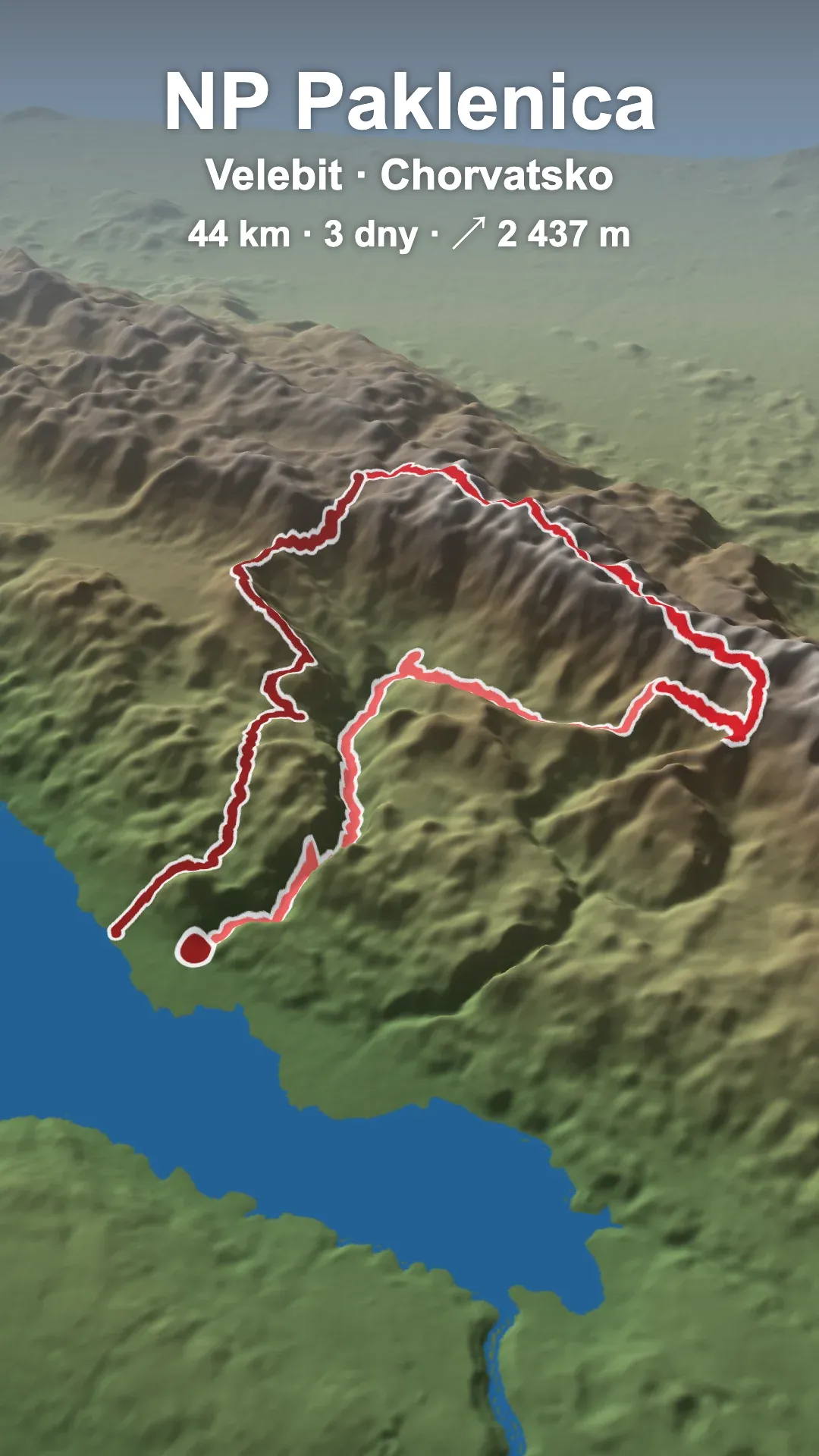
Paklenica National Park on southern Velebit connects mountains and sea: in the morning you set off from the beach in Starigrad, in the evening you sleep in a mountain shelter with a view of the Adriatic. We hiked it in 3 days (44 km, ↗ 2,437 m) and the whole five-day trip from Brno by train cost us about €190 per person in 2020. ⛰️🌊
Here you’ll find what to pack, where to sleep and refill water in Paklenica, how to get to Starigrad Paklenica today, my own map with shelters, water and sleeping spots, and a description of the trek across Velebit day by day.
🗺️ Unique custom map with all the important points – shelters, water sources and sleeping spots I marked along the way.
⚡ Paklenica National Park at a glance
⛰️ Traverse of southern Velebit | Starigrad → Ivine Vodice → Struge → Starigrad
The Velika Paklenica canyon, mountain shelters, the Velebit ridge in the clouds and finally a sharp little ridge above the sea – and in three days we met only one other foreigner. 🌲
📍 Start and finish: Starigrad Paklenica (about 45 km from Zadar)
🟥 Difficulty: demanding – the main challenge is the big elevation gain (↗ 2,437 m in 3 days, most of it on the first and last day), plus the sharp Golić and Grabar ridge
🪨 Terrain: rocky trails, a canyon, a ridge up to about 1,750 m
💰 Costs: about €190 for 5 days (August 2020) – transport €110, food €45, accommodation €35
🏠 Sleeping: free shelters (Ivine Vodice, Struge)
🗺️ Map: shelters, water and sleeping spots
📅 When: spring, summer or autumn (in August 12 °C and fog on the ridge)
⚠️ Heads up: There’s almost no water on the ridge and the weather changes fast. Planning the trip? See how to get to Paklenica today.
💡 Tip: We always finished around 2 pm – fit hikers can do it in 2 days.
🛠️ Gear for the Paklenica trek
Most people fly to Croatia with hand luggage only – but even if you come by car or bus, there’s no point carrying extra stuff. My backpack weighed 6.4 kg, about 12 kg with water and food.
- 💤 thanks to the shelters, a light summer Aegismax down sleeping bag and a wide foil mat (100 × 200 cm) are enough
- ⛺ you don’t need a tent – a tarp just in case, a hammock on the coast
- 🩴 light barefoot sandals + hiking boots
- 🥢 trekking poles – the terrain is tough and the elevation gain big
- 🗺️ navigation with Mapy.com on your phone (my map with points) + a power bank
- 🧥 a jacket and a warm layer – even in August it was 12 °C with strong wind on the ridge
More light and cheap gear in my article best ultralight backpacking gear on a budget.
🗺️ Paklenica trek map
Along the way I marked spots suitable for sleeping (green points), shelters (brown) and water sources (blue). The points are from my traverse in August 2020.
🟢 sleeping spots · 🟤 shelters · 🔵 water · route in red – each day has a different shade, click a point or a section
🗺️ Trek map with point descriptions on Mapy.com
🏕️ Where to sleep in Paklenica National Park
Paklenica National Park has plenty of paid and free huts and shelters. I didn’t see many spots suitable for a tent or sleeping under the stars.
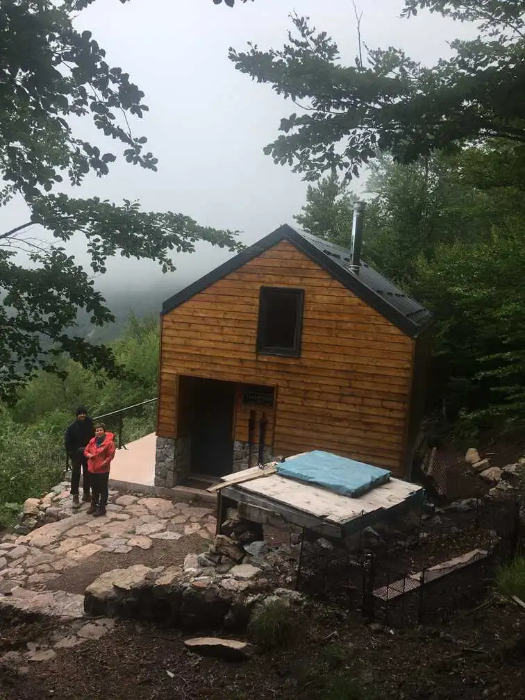
- 🏠 shelters (skloništa) – Ivine Vodice, Vlaški Grad or Struge are free and unstaffed; bring your own sleeping bag, stove and food
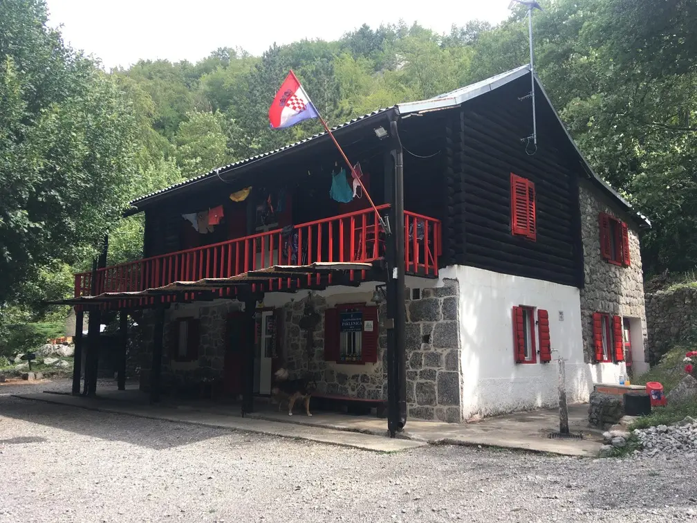
- 🛏️ Planinarski dom Paklenica in the Velika Paklenica valley – a paid hut with food (about 50 beds, May–October, weekends only off-season), about 2 hours from the car park
- 🧱 ruins – I marked them on the map (green points)
🧭 Useful tool: HPS map of huts and shelters
The interactive map of the Croatian Mountaineering Association (HPS) shows huts and shelters all over Croatia – just click the “little house”. It’s handy for other hikes; for this trek my map aboveis all you need.
🚰 Water on the trek
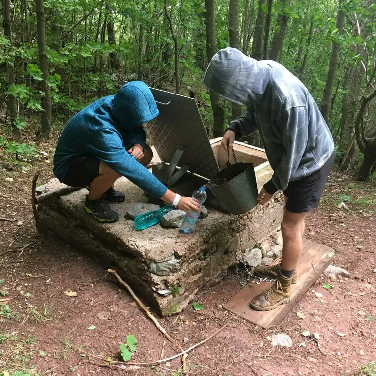
There’s quite a lot of water as long as you’re in the valley, on the ridge there are almost no sources. We managed with the usual 3 l. All the sources marked on the map worked, but it had just rained – in summer they can dry up. Stone wellsare common here, which I saw for the first time.
🚌 Getting to Paklenica
Today: the easiest way is to fly to Zadar (Ryanair and other airlines fly there from all over Europe). From Central Europe, in summer there are also RegioJet buses from Prague via Brno and Bratislava to Zadar. From Zadar continue by local Arriva bus or car along the coast to Starigrad Paklenica (about 45 km, roughly 1 hour). Buy Croatian bus tickets in advance – in season they sell out.
How we got there in 2020: by RegioJet night train Prague–Brno–Bratislava–Ljubljana–Rijeka (seat from €23, couchette from €31) – sleeper comfort, cheap food and drinks, fun and rest. From Rijeka we took a RegioJet bus to Zadar and then Arriva to Starigrad (about €3 + €1.50 for bigger luggage). RegioJet was always on time, which isn’t a given with Croatian long-distance buses. Arriva was sold out a week ahead – luckily seats freed up on the day of departure. (That train no longer runs.)
🎫 The entrance fee to Paklenica National Park is around €10 for adults, parking at Velika Paklenica about €5 per day (park price list).


💡 Tips and tricks
- The sea is for tourists and the mountains are for Croatians – in all our time in the mountains we met only one foreigner. You can see that Croatians take care of their mountains.
- The traverse can be done in 2 days too – we always finished around 2 pm. The problem is the big elevation gain on the first and last day.
- If you take a RegioJet train, watch out when choosing seats in the compartment – they’re displayed the “other way round” than you’d expect. It got us twice.
- Fog, rain and strong wind are possible on the ridge even in summer – bring a jacket and a warm layer.
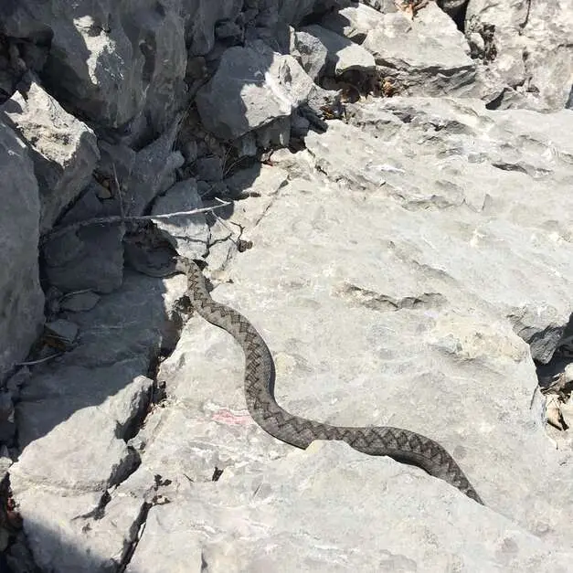
- I recommend higher, sturdy boots – the trails are rocky and we even met a viper.
- Treat yourself to a rest by the sea after the trek – after three days in the mountains you’ll enjoy it much more than a classic beach holiday.
📓 Paklenica trek day by day
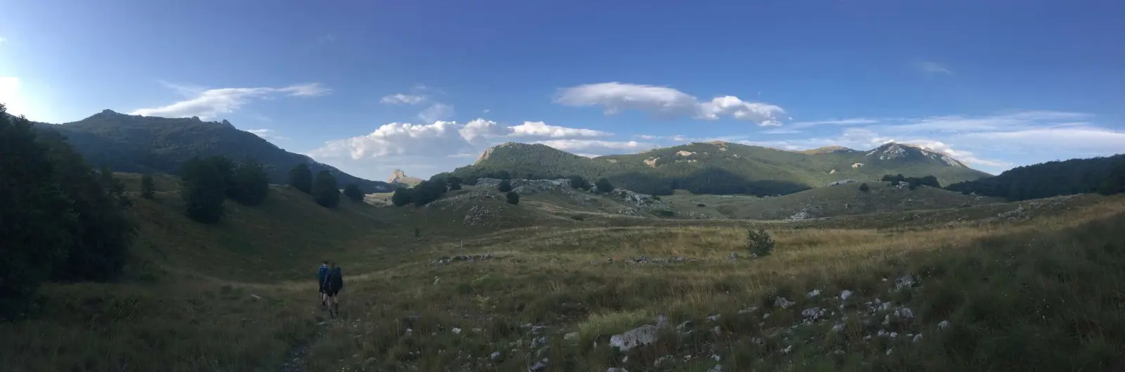
Our traverse from August 2020 – sleeping, water, interesting spots and difficulty. Prices are from that time.
🚆 Brno → Starigrad Paklenica
We leave Brno before 8 pm and sleep on the train. There are three of us and I booked the seats wrong – the compartment layout in the booking is pretty illogical. After midnight a fire alarm goes off because someone smoked in the toilet.
Around 8 am we’re in Rijeka, change to a bus to Zadar and from there to Starigrad Paklenica (about €3 plus €1.50 for luggage). I book accommodation via Booking. The moment we get off the bus, a total downpour starts and lasts exactly until we reach the apartment. Soaked to the bone, we earn a few mocking smiles.
🥾 Day 1: Starigrad → Ivine Vodice
We enter the park by turning right after the bridge before the tourist checkpoint. The trail to Planinarski dom Paklenica climbs gently; we pass the Manita peć cave and go to check out the ruin of the rock house Sklopina.

We see signs offering accommodation for just €10 a night, but the reviews aren’t great. If you only need a roof over your head, there are a few spots to sleep in the ruins. We reach the Ivine Vodice shelter already in the afternoon – the altitude does its thing, it’s only 12 °C and quite windy. We enjoy the sea view; near the hut there’s a well. In the evening a Croatian Viking with a braided beard arrives with his friend and a dog.
🥾 Day 2: Ivine Vodice → Struge
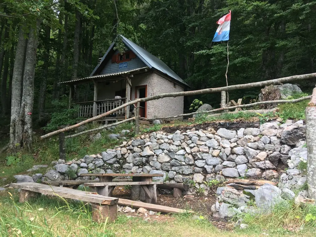
In the morning, after an hour, we’re at the Vlaški Gradshelter, but the spring there isn’t running. Because of the clouds on the ridge we go for the view from the Vlaški Grad summit and then continue up into the clouds.
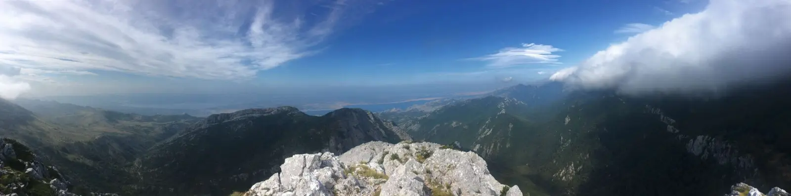
The bad weather quickly drives us on – fog, drizzle, rain and strong wind take turns.
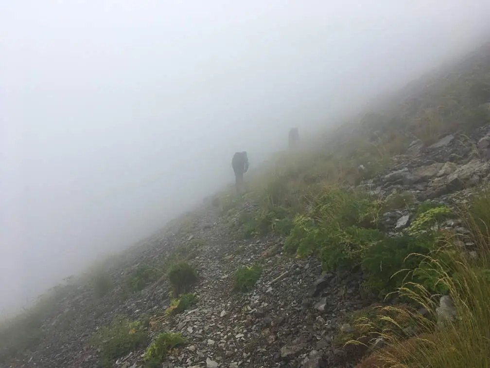
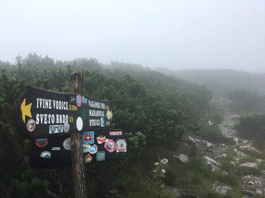
We reach the Struge shelter early, and in this weather it looks like something post-apocalyptic. Inside, an older man waits for us with a hot stove and warm tea. There’s enough room – 3 + 3 sleep upstairs and 3 + 3 downstairs. Several groups gradually arrive, among them a Frenchman and a Croatian woman walking across the whole country. According to them, this shelter is one of the worse ones.
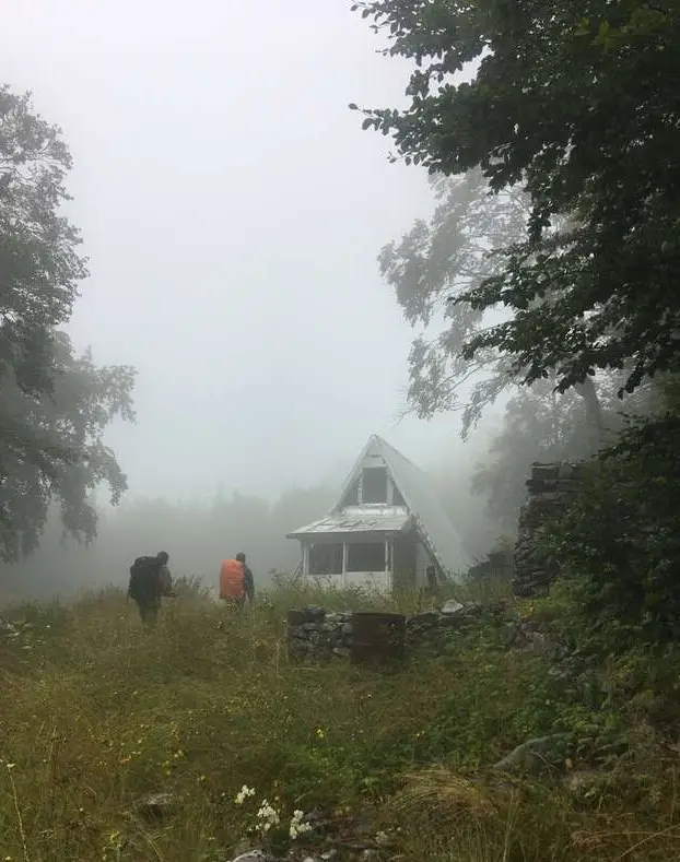
🥾 Day 3: Struge → Starigrad
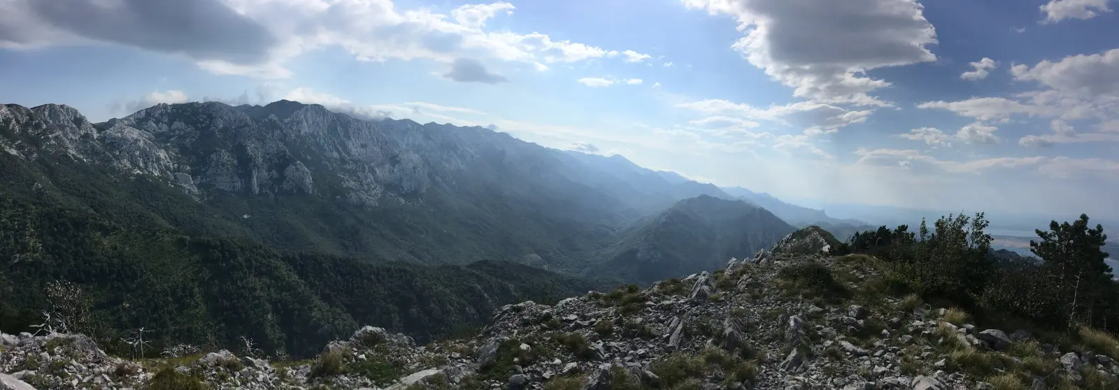
Almost everyone leaves early, so we unwillingly wake up before seven. It’s very windy; a few minutes below the shelter there’s a well (Marasovac) where we fill up water, and soon we come out of the cloud covering the whole ridge. A panorama opens up in front of us that’s only missing riders on horseback from a western, and we continue all the way to the Buljmapass.
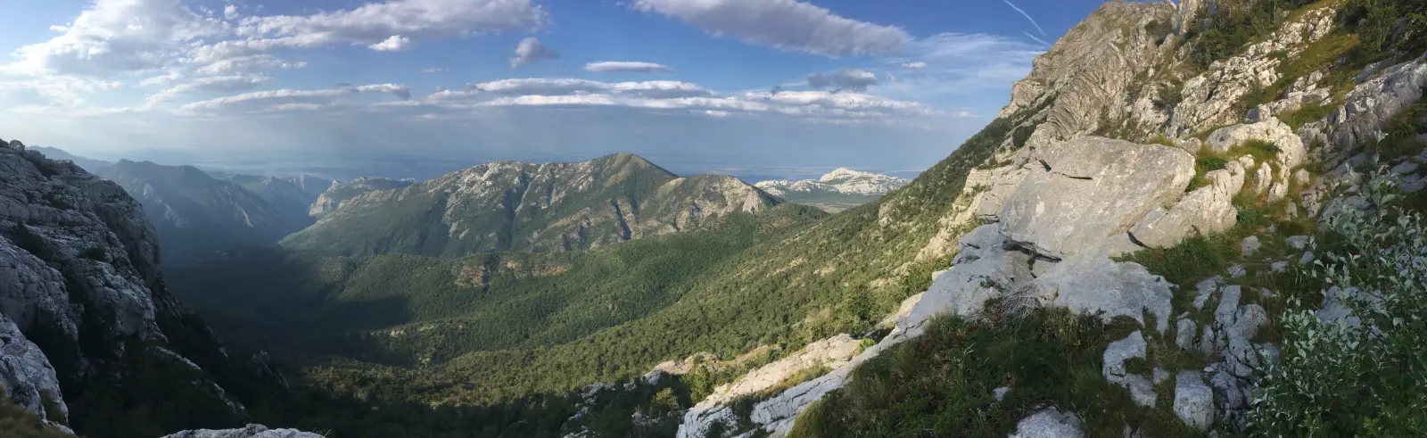
From here the whole route winds nicely along the contour line.
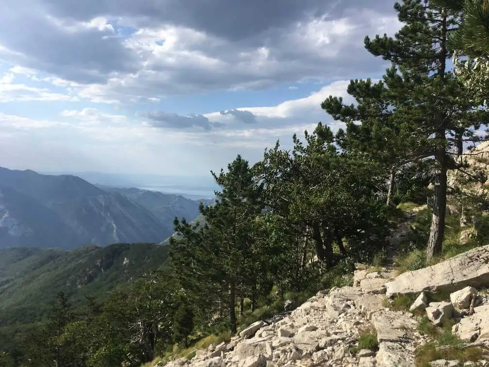
We fill up water and continue to the start of another small ridge running parallel to Velebit.
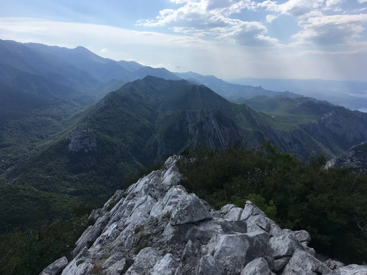
Nobody expected the ridge to be so sharp – literally. We balance on the tips of the Golić and Grabarpeaks.
And now and then we even have to dodge venomous snakes.
After everything we’ve been through, the exhausting descent to the sea finally comes.
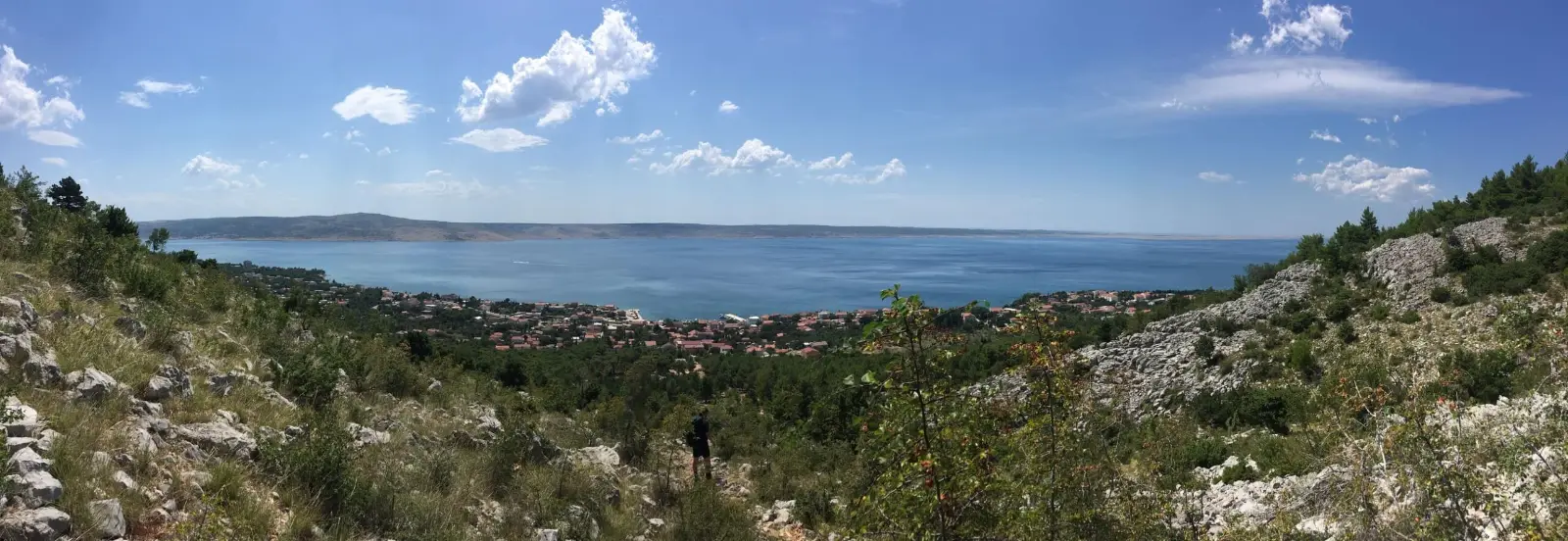
We buy food for the beach and spend a well-deserved hour by the sea before our bus back to Zadar. After arriving we check into a hostel and have a look around town – we’re too exhausted for anything else.
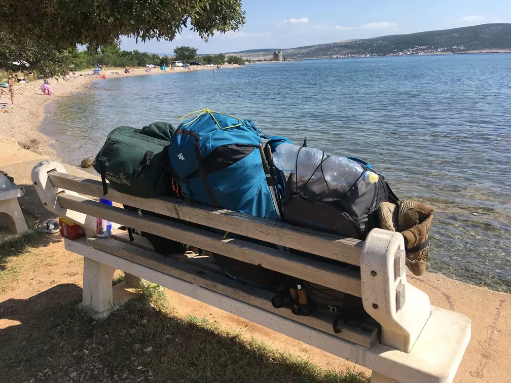
🚆 Zadar → Brno
We tactically spend the morning on the beach nearest to the bus station and then ride to Rijeka for the train. We only have half a compartment – I booked the seats wrong on the way back too.
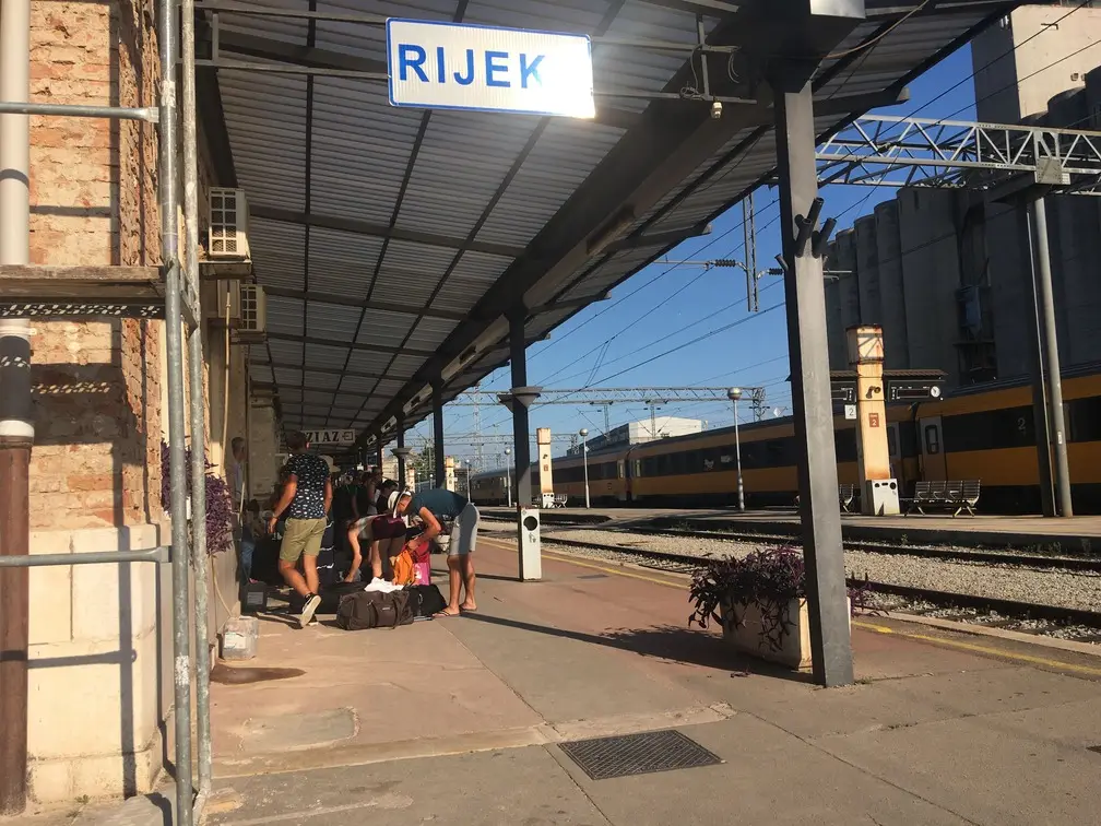
We make full use of the on-board service, only the cakes run out before our turn – the queue reaches almost into the next car. We solve it our own way and trade one cake for a beer. A group of ladies took our third bed with the steward’s approval, but fellow passengers offer us a free bunk – and in the morning we arrive back in Czechia.
❓ Paklenica National Park FAQ
How much is the entrance fee to Paklenica National Park?
The adult entrance fee has been around €10 in recent years and is valid for a single entry to the marked trails. Parking at Velika Paklenica costs about €5 per day. You’ll find the current price list on np-paklenica.hr.
How do I get to Paklenica National Park?
The base is Starigrad Paklenica, about 45 km from Zadar. The easiest way is to fly to Zadar and continue by local Arriva bus or car along the coast (about 1 hour). In summer RegioJet buses also run from Prague, Brno and Bratislava to Zadar. Buy Croatian bus tickets in advance.
Where can you sleep in Paklenica?
Higher up in the mountains there are simple shelters (skloništa) such as Ivine Vodice, Vlaški Grad and Struge – free and unstaffed, bring your own sleeping bag and food. In the valley there’s the paid Planinarski dom Paklenica (about 50 beds, May–October, weekends only off-season). There are few spots for a tent; you can also sleep in ruins – I marked them on the map.
How many days does the Paklenica traverse take?
We hiked it in 3 days (44 km, ↗ 2,437 m) and always finished around 2 pm, so it can be done in 2 days too. The main challenge is the big elevation gain on the first and last day.
Is there enough water on the trek?
There’s quite a lot of water in the valley, mostly from wells and springs, but almost none on the ridge. We managed with 3 l per person. The water sources are on the map – in summer they can dry up.
When is the best time to hike in Paklenica?
We went at the beginning of August – it was hot down below, but on the ridge we had fog, rain, strong wind and about 12 °C. Spring and autumn are nicer for the trek; in summer set off early and expect quick weather changes on Velebit.
What should I watch out for in Paklenica?
The weather on the ridge changes fast and it’s windy. The Golić and Grabar ridge above Starigrad is sharp and exposed, and you may meet vipers on the trails – watch your step. Stick to the marked trails.
Do I need a tent for the traverse?
No. Thanks to the shelters and huts, a summer sleeping bag and a sleeping pad are enough – a tarp or hammock just in case.
📚 Related reading

🥾 GR221 Mallorca – Serra de Tramuntana traverse
Another trek by the sea: 124 km in 4.5 days with hand luggage only, a map with water and sleeping spots.

🏕️ Best ultralight backpacking gear on a budget
Sleeping bag, foil mat, stove and other light gear for multi-day treks.

👣 Best barefoot sandals – Bosky review
Light sandals for the shelter and the beach – and foldable camp shoes.
Enjoy Velebit and leave nature the way you found it. ⛰️✨
👁️⃤ See you in the Temple of Nature! 🌄